

Easy Hikes in the Poconos

- Route 6
- (570) 675-1143
Parking Update: Visitors may park at the end of Brooks Cabin Road (take a right at the T) while the parking adjacent to Route 6 is…

- 2512 Route 6, Suite 1
- (570) 226-2141
See the sights around beautiful Lake Wallenpaupack! The Wallenpaupack Lake Trail is a gentle, three-mile trip along the Big Lake…
Moderate Hikes in the Poconos

- River Road
- (570) 426-2452
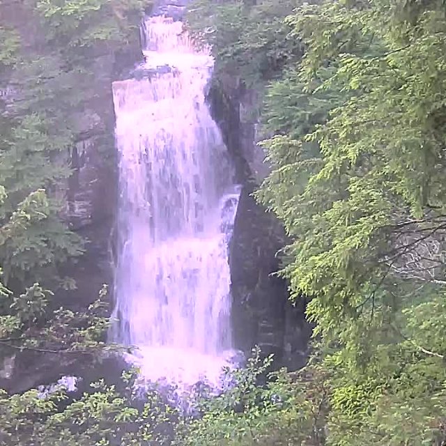
Hike to scenic overlooks, waterfalls and river views in the Delaware Water Gap National Recreation Area (DWGNRA). The 70,000-acre…

- 199 Gibbons Park Road
Take in the stunning views of historic downtown Honesdale! Irving Cliff is a one-mile, moderately trafficked, out-and-back trail…

- Lehigh Gorge Trail
- (272) 808-6192
Take a leisurely stroll or a challenging hike through the Lehigh Gorge State Park! The park features a variety of trails that…
Challenging Hikes in the Poconos

- Route 209
- (570) 426-2452
The Cliff Trail offers some of the most spectacular overlook views in the recreation area. See the serpentine Delaware River…

- (717) 258-5771
Hike a portion of the famed and historic Appalachian Trail in the Pocono Mountains! Head to the town of Delaware Water Gap to hop…


